Fresh news from SatAgro

First steps

Basic platform components

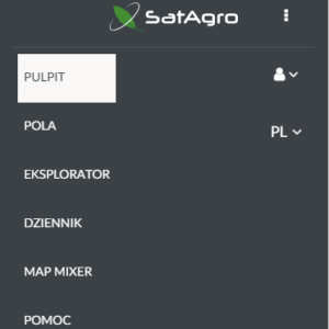
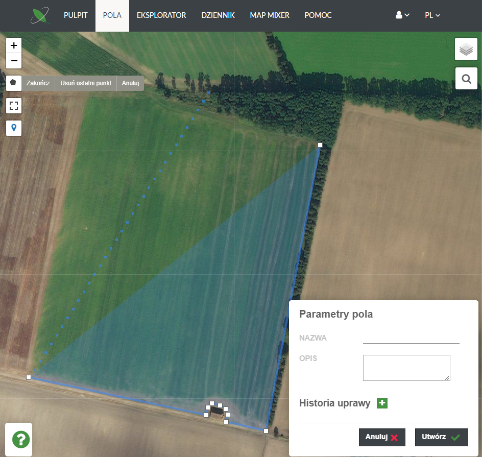
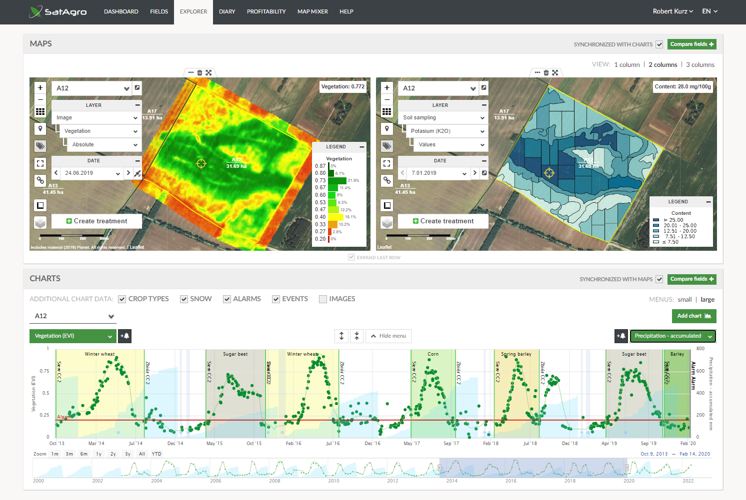
After logging in, you can navigate between different parts of our platform by clicking on the menu bar at the top of the browser. Each part holds different information about your farm. Dashboard This is the first place you will see after logging in. The Dashboard displays basic information about your account along with a schedule of upcoming satellite fly-overs and let’s you add new data (fields, alarms, events). Fields The Fields tab is where you can find a list of all fields you’ve added to your account, along with a number of satellite indices and weather characteristics. When you…

Adding your first field

To begin monitoring your farm using satellite data, you first have to add at least one field to your account. This is quite simple. If you already have electronic boundary files for your fields in the form of e.g. shapefiles, send them to us and we will upload your fields for you. To upload your boundaries, click on the “Import” button on the bottom left of the “Fields” tab and drag and drop your files into the box displayed. If you want to add the fields manually yourself, log in to your account. After logging in you will be shown the…

Monitoring with Explorer

The Explorer is the most important part of the SatAgro platform Here, you can browse weather data as well as satellite imagery of your field. Once you get the hang of this part of the platform, you will find it easier to make crucial decisions regarding your farm. The Map Area The Map area is where you can view spatial data, such as satellite imagery, variable rate application maps or yield maps. To choose what data should be displayed in the panel to the left of the map (field – (1), type of data – (2), dates – (3)). You…

Mobile app for iOS and Android

The SatAgro mobile application, available for Android and iOS operating systems, provides access to the main elements of our web platform. Among its functionalities are tools such as the map explorer, the prescription map creation module, the treatment registry or the field notes module. With the mobile application you have constant access to the most important data characterising your fields such as vegetation maps based on satellite images, soil analysis results and prescription maps created in SatAgro. This, in combination with the geolocation function of mobile devices, makes it possible: Depending on the brand of the mobile phone you have,…

SatAgro subscription plans

We encourage our new Users to get a feel for our application using the free of charge Starter plan. Starter Users can browse satellite imagery and weather data for one, max. 50 ha field. The paid version of the SatAgro application can be purchased in two subscription tiers: Professional Which offers: Access to all tools within SatAgro; Data export, including prescription files for VRAs; Automated alarms; Access to satellite imagery from Sentinel2 and Landsat8 Premium Which in addition to the features included in Professional plans offers: Access to satellite imagery from commercial data providers, such as Planet. Planet satellites offer…