
Fertilisation plan
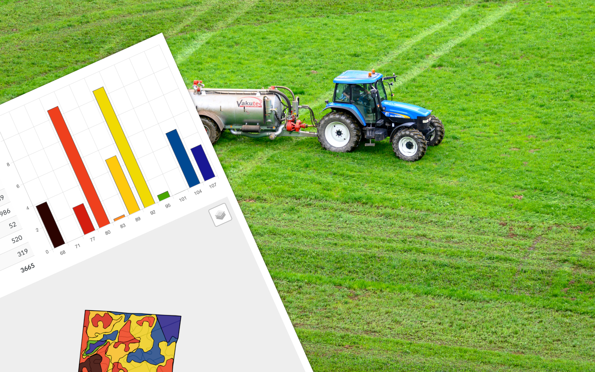
The Fertilisation Plan defines the optimum quantities of basic nutrients to be supplied to the crop in order to provide it with the right conditions for growth. A reliable plan requires both the determination of the crop nutrient needs and an estimate of the amount of nutrients currently available in the soil. The SatAgro platform offers a simple tool for developing Fertilisation Plans and supports farms in their implementation. The implemented Fertilisation Plans are compatible with the requirements of the eco-scheme “Carbon Farming and Nutrient Management”, and at the same time allow to take into account the spatial variability of…
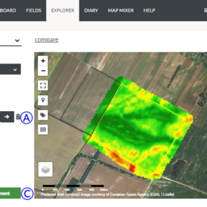
 Platform
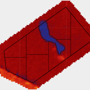
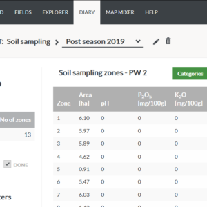