01/13/2020
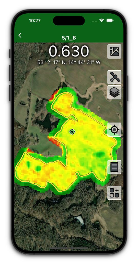
The SatAgro mobile application, available for Android and iOS operating systems, provides access to the main elements of our web platform. Among its functionalities are tools such as the map explorer, the prescription map creation module, the treatment registry or the field notes module.
With the mobile application you have constant access to the most important data characterising your fields such as vegetation maps based on satellite images, soil analysis results and prescription maps created in SatAgro.
This, in combination with the geolocation function of mobile devices, makes it possible:
- inspect specific fragments requiring additional attention that show anomalies in the satellite imagery,
- add notes with localised pictures of a particular point in a given field,
- create and manage treatments for each of your fields,
- create and edit alarms,
- on farms with less advanced machinery, apply our prescription maps manually (e.g. by changing tractor speed).
Depending on the brand of the mobile phone you have, you can download our app directly from the Google Play shop or the App Store.


 Platform